


World geography practice questions and answers on maps and capitals
A Geography Quiz is an engaging way to test and improve knowledge about the Earth, its physical features, climate, countries, capitals, natural resources, and human activities. Geography plays a vital role in understanding the world around us, including environmental changes, global trade, population distribution, and cultural diversity. This page provides a structured Geography Quiz along with key facts, tables, and practice questions to help students, competitive exam aspirants, and general readers strengthen their general knowledge effectively.
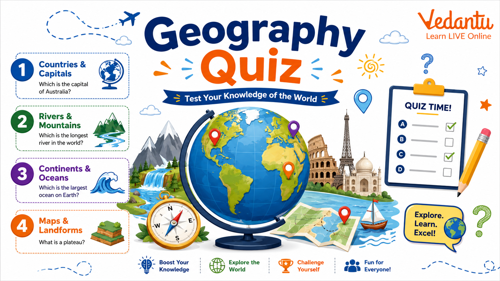
What is Geography?
Geography is the study of the Earth, its landscapes, environments, and the relationships between people and their environments. It is broadly divided into physical geography and human geography. A Geography Quiz generally covers both aspects to test overall understanding.
- Physical Geography - Landforms, rivers, mountains, climate, oceans
- Human Geography - Population, cities, agriculture, industries
- Environmental Geography - Ecosystems, conservation, climate change
- Economic Geography - Resources, trade, transportation
Important Geography Facts for Quiz Preparation
Major Continents and Oceans
Continents and Oceans Overview
| Category | Name | Key Fact |
|---|---|---|
| Continent | Asia | Largest continent by area and population |
| Ocean | Pacific Ocean | Largest and deepest ocean |
There are seven continents - Asia, Africa, North America, South America, Antarctica, Europe, and Australia. There are five oceans - Pacific, Atlantic, Indian, Southern, and Arctic. Questions related to continents and oceans are frequently asked in Geography Quizzes and competitive exams.
Highest, Longest, and Largest in the World
World Geography Superlatives
| Feature | Name | Location |
|---|---|---|
| Highest Mountain | Mount Everest | Nepal - China border |
| Longest River | Nile River | Africa |
Other important superlatives include the Sahara Desert as the largest hot desert, Greenland as the largest island, and the Amazon Rainforest as the largest tropical rainforest. These facts are commonly included in quiz competitions and GK exams.
Geography Quiz Practice Questions
Multiple Choice Questions
- Which is the smallest continent by area?
a) Europe
b) Australia
c) Antarctica
d) South America - Which river flows through Egypt?
a) Amazon
b) Yangtze
c) Nile
d) Mississippi - Which country has the largest population?
a) USA
b) India
c) China
d) Russia - Which desert is located in northern Africa?
a) Gobi
b) Kalahari
c) Sahara
d) Arabian
Answers
- 1 - b) Australia
- 2 - c) Nile
- 3 - b) India
- 4 - c) Sahara
Common Topics Covered in Geography Quiz
- Countries and Capitals
- Rivers and Lakes
- Mountains and Plateaus
- Climate and Weather Patterns
- Natural Resources and Minerals
- World Map Identification
Preparation Tips for Geography Quiz
Preparing for a Geography Quiz requires consistent revision and map practice. Understanding concepts is more important than memorizing isolated facts. Focus on visual learning and regular practice to improve retention.
- Study world maps daily and locate countries, rivers, and mountains.
- Revise important geographical superlatives.
- Practice previous year GK and competitive exam questions.
- Stay updated with environmental and climate related developments.
- Use atlases and geography based quizzes for self evaluation.
Why Geography Quiz is Important
A Geography Quiz improves awareness about global issues, enhances map reading skills, and strengthens general knowledge for school exams, competitive exams, and interviews. It also develops analytical thinking by helping learners understand spatial relationships and environmental challenges. Regular quiz practice builds confidence and improves recall speed.
By practicing Geography Quiz questions regularly and understanding core concepts, students can build a strong foundation in general knowledge and perform better in academic and competitive examinations.
FAQs on Geography Quizzes for Students: Test Your World Knowledge
1. What is Geography and why is it important in a Geography Quiz?
Geography is the study of the Earth, its features, and the interaction between humans and the environment. Geography quizzes test knowledge of both physical geography and human geography concepts.
Key areas covered include:
• Physical features – mountains, rivers, oceans, deserts
• Human activities – population, culture, economy
• Maps and globes – latitude, longitude, time zones
• Environmental issues – climate change, global warming
This subject is important for competitive exams, GK tests, and school quizzes as it builds spatial awareness and global understanding.
2. What are the main branches of Geography asked in GK quizzes?
The main branches of Geography commonly asked in GK quizzes are Physical Geography and Human Geography.
They include:
• Physical Geography – landforms, climate, oceans, earthquakes, volcanoes
• Human Geography – population, migration, urbanization
• Economic Geography – industries, trade, resources
• Environmental Geography – sustainability, conservation
Understanding these branches helps in solving geography objective questions and MCQs for competitive exams.
3. Which are the seven continents commonly asked in Geography quizzes?
The seven continents are the major landmasses of the Earth frequently asked in Geography GK questions.
The 7 continents are:
• Asia (largest by area and population)
• Africa
• North America
• South America
• Antarctica (coldest continent)
• Europe
• Australia
Questions often focus on the largest continent, smallest continent, and continent-country associations.
4. What are the five oceans of the world?
The five oceans cover about 71% of the Earth's surface and are key topics in Geography quizzes.
The five oceans are:
• Pacific Ocean (largest and deepest)
• Atlantic Ocean
• Indian Ocean
• Southern Ocean
• Arctic Ocean (smallest and shallowest)
GK questions often ask about the largest ocean, deepest ocean trench, and ocean boundaries.
5. What is the difference between latitude and longitude?
Latitude and longitude are imaginary lines used to locate places on Earth accurately.
• Latitude: Horizontal lines measuring distance north or south of the Equator (0°)
• Longitude: Vertical lines measuring distance east or west of the Prime Meridian (0°)
• Together they form a geographic coordinate system
These terms are frequently asked in map-based geography quiz questions and competitive exams.
6. Which is the highest mountain and the longest river in the world?
The highest mountain is Mount Everest, and the longest river is generally considered the Nile River.
• Mount Everest – Located in the Himalayas, height about 8,848.86 meters
• Nile River – Flows through northeastern Africa
• The Amazon River is also debated as the longest based on measurement methods
Such world geography GK questions are common in school quizzes and entrance exams.
7. What are natural resources in Geography?
Natural resources are materials provided by nature that humans use for survival and development.
Types of natural resources include:
• Renewable resources – solar energy, wind, water
• Non-renewable resources – coal, petroleum, natural gas
• Biotic resources – forests, animals
• Abiotic resources – minerals, metals
Questions on resources and conservation are important for GK quizzes and environmental studies.
8. What causes earthquakes and volcanoes?
Earthquakes and volcanoes are caused by movements of the Earth's tectonic plates.
• Tectonic plate movement creates stress in the Earth's crust
• Sudden release of energy causes an earthquake
• Magma rising through cracks leads to a volcanic eruption
• Most occur along plate boundaries like the Pacific Ring of Fire
These are key topics in physical geography quizzes and disaster management GK questions.
9. What is climate and how is it different from weather?
Climate refers to the long-term average weather conditions of a place, while weather is short-term atmospheric change.
• Weather – Daily conditions (rain, temperature, humidity)
• Climate – Average pattern over 30 years or more
• Climate types include tropical, temperate, polar, desert
This distinction is frequently asked in Geography MCQs and GK competitive exams.
10. What are time zones and why do we need them?
Time zones are regions of the Earth that follow a uniform standard time for convenience and coordination.
• Earth is divided into 24 time zones
• Based on the Prime Meridian (Greenwich, 0° longitude)
• Each time zone represents roughly 15° of longitude
• Ensures synchronized global timekeeping and travel
Time zone questions are common in map-based geography quizzes and general knowledge tests.